
Los Angeles is on track to experience its longest cold snap in almost 20 years this week as another winter storm blasts the region with heavy and low-elevation snow, strong winds and significant rain.
If forecasts hold, Wednesday will be the eighth day in a row that downtown L.A. hasn’t topped 60 degrees — a chilly streak not seen in the city since 2005, according to the National Weather Service’s daily forecast discussion.
Los Angeles’ normal average for the month is 69 degrees, making this recent streak well “below normal,” said Ryan Kittell, a meteorologist with the National Weather Service office in Oxnard.
“It’s been pretty darn cold,” Kittell said.
Though this streak could tie a similar eight-day cold snap in January 2005, it pales in comparison to the longest on record: 20 straight days under 60 degrees in 1949, according to Kittell.
Slight warming expected to begin by Thursday through the weekend should break the streak far short of that record, Kittell said.
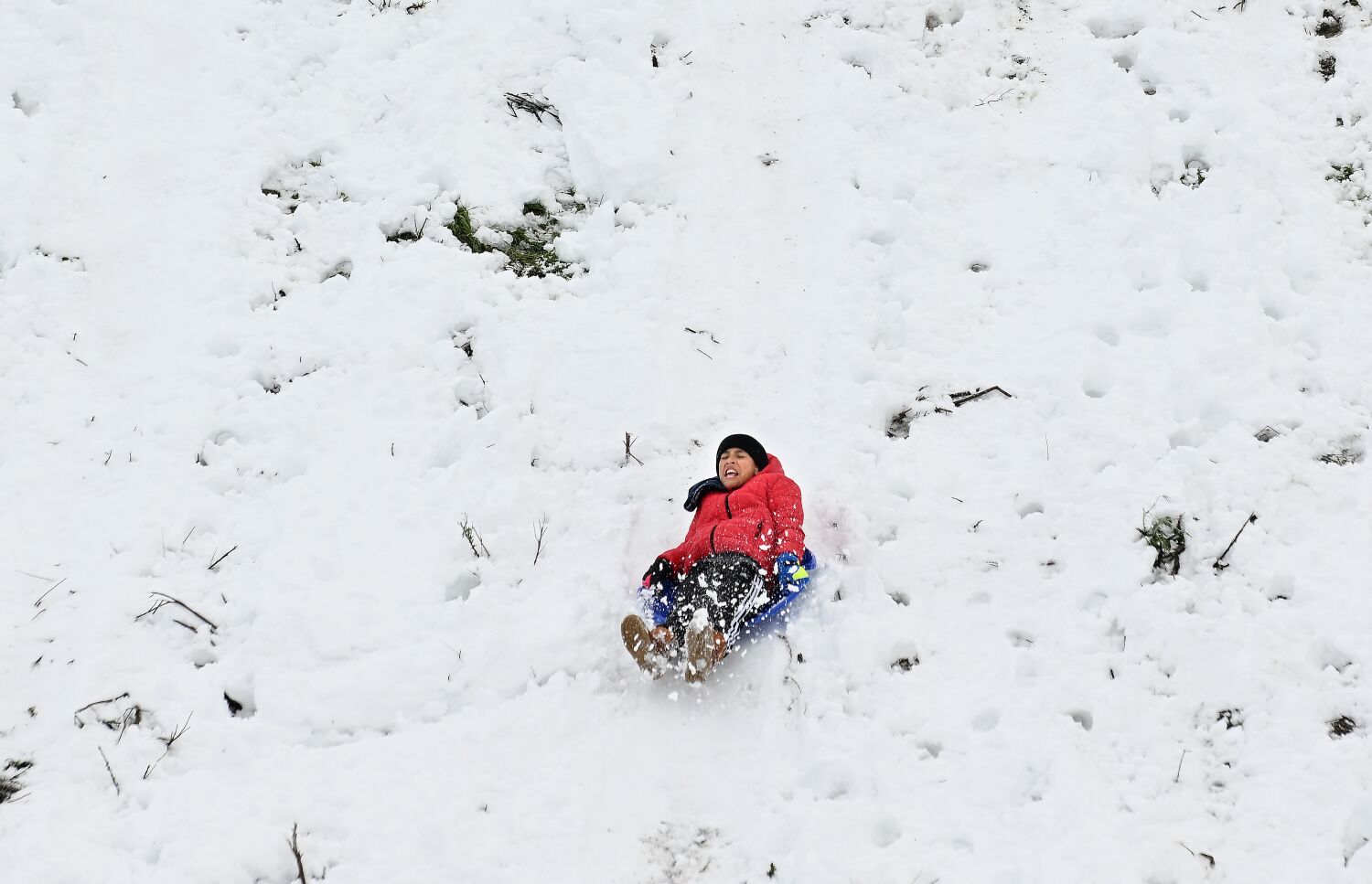
The cold temperatures, coupled with the moisture from a low-pressure system hanging over the state, could once again bring low-elevation snowfall to Southern California after last week’s rare event brought fresh powder to areas even lower than 1,500 feet.
Foothill communities including La Crescenta-Montrose, La Cañada Flintridge and Santa Clarita, as well as in the Antelope Valley, could see some snow by Wednesday morning, Kittell said.
“The amount of moisture is less, so we don’t expect a total repeat of what we had last week,” he said. “But they could see more snow.”
Snow levels Tuesday afternoon are forecast to rise to between 3,500 and 4,000 feet elevation, but drop rapidly to as low as 1,500 feet early Wednesday. At the highest elevations, up to 2 feet could fall by Wednesday from this latest storm on top of multiple feet on the ground from the last system — which officials and residents are still working to recover from.
A winter storm warning will be in effect Tuesday afternoon through Wednesday for the mountains of Los Angeles and San Bernardino counties, with reduced visibility from snow likely to make travel “difficult to impossible,” the warning said. The weather is likely to cause disruptions along the Grapevine, the higher portions of Interstate 5 and the 14 Freeway going into the Antelope Valley, Kittell said.
“The roadways will be the biggest concern,” he said.
“The weight of recent snow combined with strong winds may down trees and power lines,” the warning said. San Bernardino County has declared a state of emergency because of the weather.
Rainfall in lower elevations is also expected to be notable, but manageable, Kittell said. The coasts and valleys can expect up to 1½ inches of rain through Wednesday from this storm system, while the foothills and mountains could see up to 3 inches.
Peak rain and snowfall are expected late Tuesday through Wednesday morning, Kittell said.
The latest storm has continued to cause damage across the region — despite being weaker than the previous system — with reports of downed trees, pockets of power outages and small mudslides early Tuesday.
L.A. firefighters responded to a dangerous debris flow on Muholland Drive, closing the road between Deep Canyon Drive and Coldwater Canyon Avenue. The mud and debris damaged at least one home and one utility pole, but no one was injured, according to the Los Angeles Fire Department. Residents of some nearby homes were “calmly evacuated as a precaution,” the department said.
Weather officials forecast a “warming and drying trend” beginning Thursday through Saturday, though more wet weather could return sometime next week.
Share this news on your Fb,Twitter and Whatsapp
Times News Network:Latest News Headlines
Times News Network||Health||New York||USA News||Technology||World News