After an epic January of rains, California’s winter has turned decidedly chilly.
The state has experienced record-low temperatures from Eureka down to San Diego County, with wind chill dropping into the single digits in some Southern California mountain towns and freeze warnings spanning the Northern California coastline.
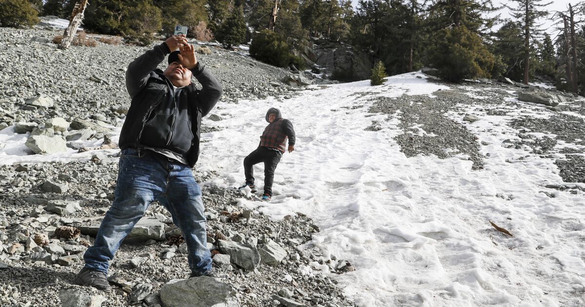
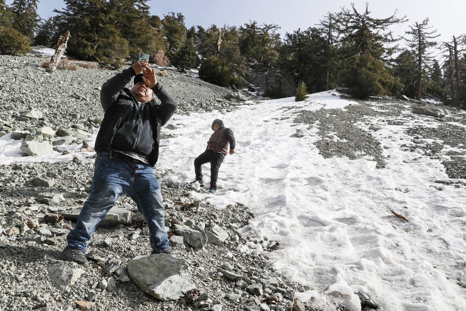
The cold conditions have kept Southern California’s mountain peaks topped with thick, bright layers of snow even without significant precipitation in several weeks.
Officials hope the low temperatures are enough to maintain the essential snowpack in the Sierra, built up during the extremely wet start of the year in the state.
“We’re not melting the snow, which is good,” said meteorologist Ryan Aylward, with the National Weather Service in Eureka. “We want it to hold on as long as we can.”
And maintaining that crucial mountain snowpack is of growing importance amid increasing concerns that climate change, rising temperatures and more frequent wildfires have caused snow to melt faster and earlier in recent years — even in the middle of winter.
A recent study in the journal Geophysical Research Letters found the early melting poses a threat to California’s water system, which depends on the melting snowpack for about a third of the state’s water supply.
The cold snap was particularly keen along the North Coast, where Aylward said Humboldt, Trinity and Del Norte counties recorded some of the state’s only snowfall this week. He said it fell, “in some places, down to a couple hundred feet in elevation.”
Snow there typically stays above 1,000 feet.
And California wasn’t alone in seeing flurries at low elevations. It even snowed in Las Vegas.
“It quickly became very treacherous,” Aylward said. Two highways, U.S. 199 in Del Norte County and Route 299 in Humboldt, shut down briefly after issues on the roadways due to the snow early Tuesday. The following day, the Grapevine in Los Angeles County was also was closed briefly for snow — though that interstate sits at a much higher elevation.
But for the rest of the state, February has remained relatively dry — especially in contrast with January. Instead of picking up moisture from the Gulf of Alaska or northern Pacific, the latest cold fronts mostly moved down from Canada, bringing “near-Arctic” air without precipitation, weather experts said.
But even without rainfall or much snow for most of February, the snowpack remains at high levels, said Mike Wofford, a National Weather Service meteorologist in Oxnard.
“Snowpack in the Sierra is running 200% of normal — it’s twice what it normally is,” Wofford said. “The cold air keeps it around.”
The state’s snowpack models show the mountain range’s water buildup — crucial for providing water to Southern California through the summer and fall — has fallen from its peak in mid-January but not drastically.
Starting next week, forecasts show a new system will bring more precipitation to the state, which should further reinforce the Sierra’s snowpack — and keep temperatures chilly.
“We do see some rain on the horizon,” Wofford said.
February is tracking below average for monthly rainfall in Southern California, he said — though the region is still above average for yearly totals. But the upcoming storm could bring an inch or two of rain by the end of next week, he said.
“That by itself could bring us back up to normal for the month, just with one storm,” Wofford said.
In Northern California, Aylward said, the storm could easily bring snow “down to the valley floors again” by midweek.
Most Californians, though, probably won’t see snow at sea-level elevations, said Daniel Swain, a UCLA climate scientist, but he predicted there could be “unusually low-elevation” snow at the 1,000- to 1,500-foot level.
He warned the storm “could well be disruptive,” especially at those elevations where residents are not used to seeing snow.
This chilly winter, if it persists, could create concerns for water recreation when warmer temperatures arrive, Aylward said.
“People are going to have to be really, really careful if they’re going out to rivers this spring,” Aylward said. “Rivers can be deceivingly fast flowing,” especially when a strong snowpack begins to melt.
The current conditions are welcomed by skiers and snowboarders, who have been hitting the slopes across the state.
“Even when we’re not getting snow, the cold has helped us hold on to it,” said Big Bear Mountain Resort spokesman Justin Kanton, calling the run conditions “phenomenal” this week. He said the snow at the resort had “held up like a champ.”
In February in previous years, conditions had already begun to deteriorate as temperatures warmed and deep winter turned into early spring, Kanton said.
Even residents who haven’t been on skis have been performing a balancing act this month. Those who rely on natural gas to heat their homes have faced sticker shock, with many trying to balance staying warm enough with staving off shockingly high bills.
“These cold snaps in February are not necessarily unusual,” said Bill Patzert, a retired climatologist in the Los Angeles area. “There are a lot of wild fluctuations in the jet streams.
“It’s been frigid and, given soaring natural gas prices, it’s also been costly.”
Times staff writer Christian Martinez contributed to this report.
[ad_2]
Share this news on your Fb,Twitter and Whatsapp
Times News Network:Latest News Headlines
Times News Network||Health||New York||USA News||Technology||World News