It’s beginning to look like the northwest again, instead of the arctic circle, with rain in the lowlands, and snow in the mountains. In other words, typical PNW December weather.
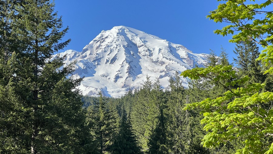
Today’s postcard view from the @CrystalMt webcam. #wawx pic.twitter.com/Q3XMDvqqEW
— NWS Seattle (@NWSSeattle) December 7, 2022
The beauty of Seattle weather emerges from the cloudy skies
The National Weather Service (NWS) in Seattle reports a frontal system will bring widespread rain and mountain snow Wednesday and Thursday, with windy conditions expected in the north.
A secondary system Friday night into Saturday will bring cooler air that will allow for potential accumulating lowland snow.
Less than 10% for Seattle https://t.co/J6vQCJ5Phm
— NWS Seattle (@NWSSeattle) December 7, 2022
Frankie Kattafias, a meteorologist for KIRO 7, writes in the weather blog: “Most of today will be a pretty calm day, with some light spotty rain showers over the area this morning and a few sprinkles here and there throughout the day. Skies will stay cloudy with temps warming into the low to mid-40s.
“There is an area of low pressure offshore that will increase cloud cover and moisture over the area late in the day and into tonight. It will become gusty for most of the area, around 10-20 mph, but windy around the Admiralty Inlet north to the border and the Coast. Gusts for these areas could be around 40-45 mph.”
Snow-covered roads and travel delays are possible across the Cascade passes, the NWS Seattle says. Snow from the first front is expected to begin Wednesday night and continue through Thursday morning before tapering off.
Snowfall from the secondary front is expected to start Friday evening and persist into Saturday morning.
Winds will increase Wednesday night, but the highest wind speeds are expected to be very early Thursday morning before gradually decreasing throughout the remainder of the morning.
NWS reports a Wind Advisory will be in effect from 10 p.m. Wednesday night through 10 a.m.Thursday morning for western Whatcom County, the San Juans, and the Admiralty Inlet area.
While an occasional gust or breezes may affect nearby areas, no other headline-worthy wind speeds are expected.
Snowfall accumulations above 1500 feet of up to 8 inches are expected in the Cascades passes.
Frankie says, “Look for a few showers here and there on Friday with lower snow levels again. Another wave will come in late Friday into Saturday that could start as some snow or wet snow over parts of the area, turning to rain for most of the area later Saturday morning.”
KIRO 7 contributed to this report
[ad_2]
Share this news on your Fb,Twitter and Whatsapp
Times News Network:Latest News Headlines
Times News Network||Health||New York||USA News||Technology||World News